

Examples
Live example
Section titled “Live example”A small tool in React Three Fiber: any area of the world, picked on an OpenStreetMap map, its layers switched on and off, one map in four looks — plain (colored by part), textured (a few canvas textures on the layers’ parts), aerial in grayscale (a process of the imagery), wireframe over a light fill — exported as GLB, STL, OBJ or USDZ. Open it, or one of its views:
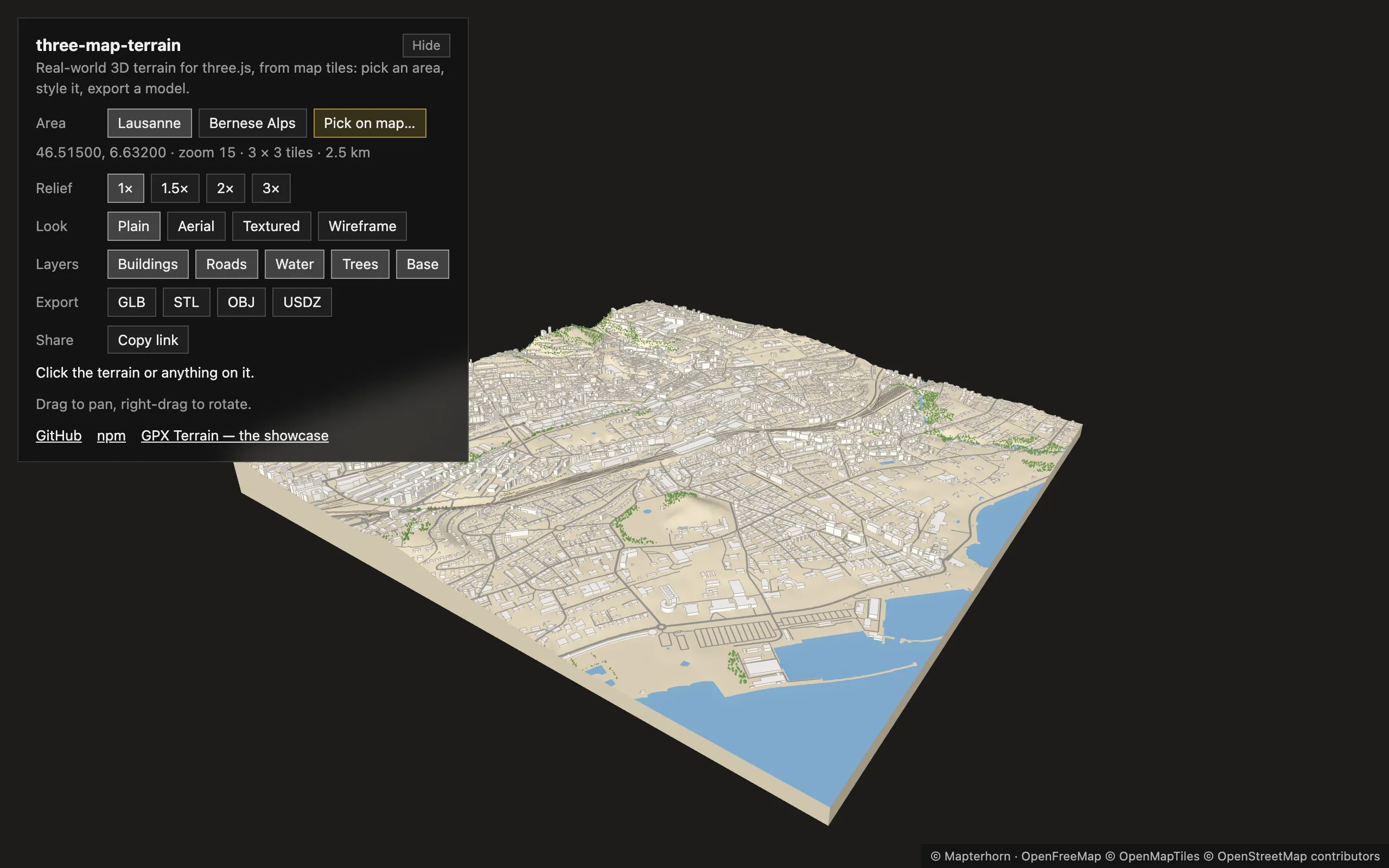 | 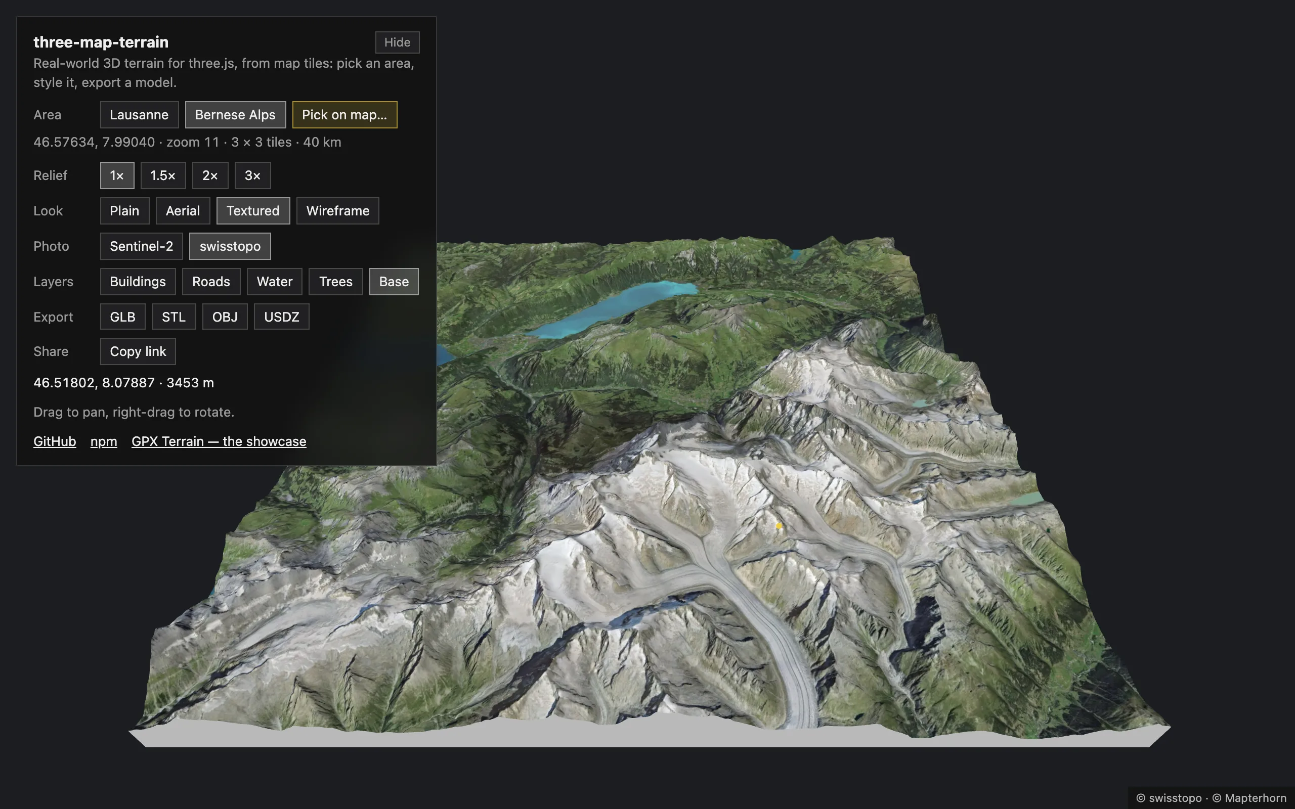 |
Every view is a link — the page keeps it in the query: place (lausanne, alps), or any other area by its middle lat, lon, its zoom z (8–16) and its tiles w × h (1–5); ex (vertical exaggeration), look (plain, aerial, textured, wireframe), imagery (sentinel, swisstopo), layers (e.g. buildings,roads), pick (opens the area picker). Mount Everest, textured: ?lat=27.98808&lon=86.92529&z=12&w=5&h=3&look=textured&layers=water,base.
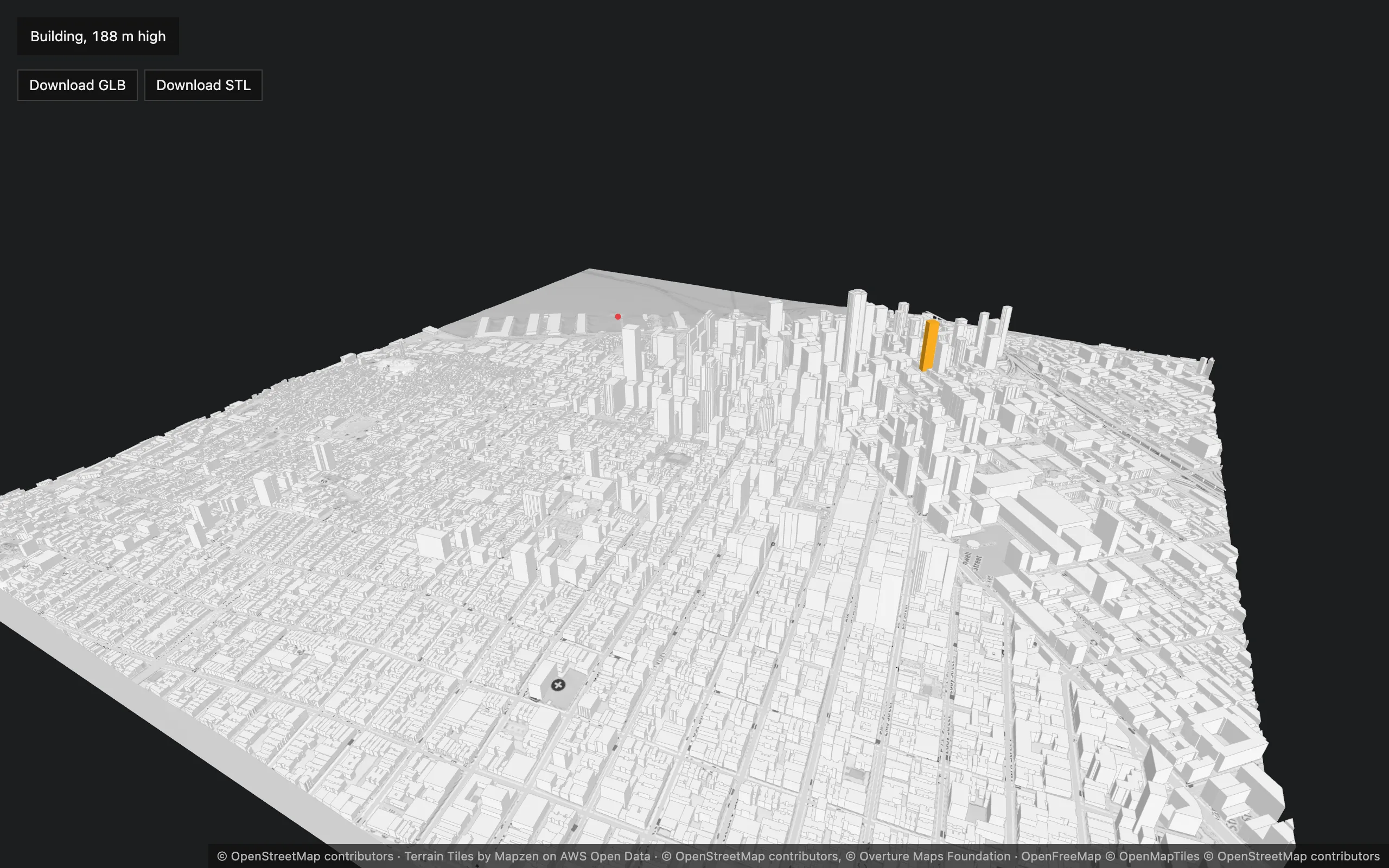
Plain three.js, bundled with webpack: downtown San Francisco at zoom 15, true to scale. Open it.
- A custom building source (overture.ts): the Overture Maps buildings — OpenStreetMap merged with Microsoft, Google and Esri footprints — read from their PMTiles archive with the
pmtilespackage and turned into buildings bybuildingsFromVectorTilewith the built-inovertureProperties. Any data the library has no preset for plugs in the same way. - The OpenStreetMap map toned down to the buildings by a few lines of
material.process, buildings with theiredges, OpenFreeMap roads (the freeways’ bridges rise from their ends over the flat downtown), and aTerrainBase. - A click: the building under the pointer (
buildings.pick), highlighted with its Overture name and height — or the geolocation of the terrain (map.pick). - Download GLB / STL with
map.export().
GPX Terrain
Section titled “GPX Terrain”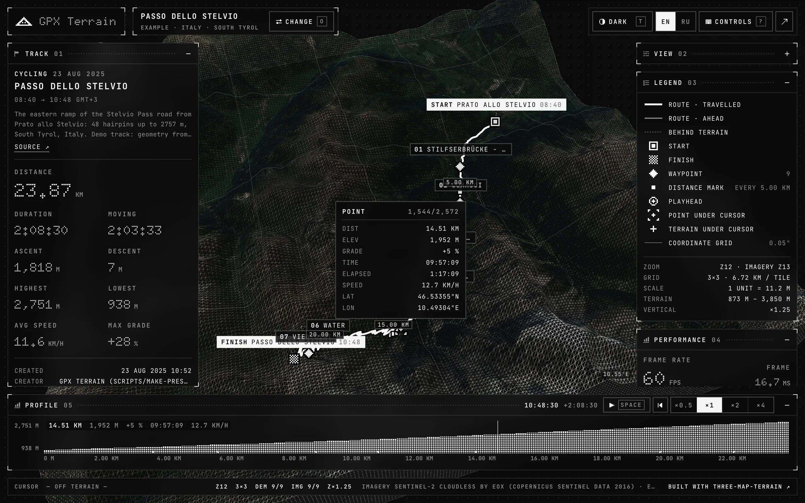
A full app on the library, in React, React Three Fiber and TanStack Store: GPX tracks draped on terrain, an elevation profile, playback, picking, imagery and wireframe at runtime. Its code is on GitHub.